
Weather data matters when it changes a decision.
Use WeatherXM as a data source, deploy stations where conditions matter, or build our field-ready hardware into your own product. We provide the physical weather layer; you choose how far up the stack you need us.
Explore Applications ↓Observations, forecasts and APIs.
Bring ground observations and weather intelligence into an existing workflow without deploying hardware yourself.
Put measurement at the site.
Choose Wi-Fi, LoRaWAN, cellular or mesh connectivity for local observation at infrastructure, farms and field sites.
Use our hardware. Keep your architecture.
Open Editions are for integrators and product companies that want their own network, backend, firmware path and customer experience.
Sports & Events
Second consecutive Olympics for WeatherXM.
From summer heat to alpine winter: Following our cellular deployments around outdoor venues at Paris 2024 ↗ to support athlete heat-stress and microclimate research, WeatherXM deployed stations for a second consecutive Olympic Games at Milano Cortina 2026 ↗.
Alpine winter is one of the harshest real-world tests for sensor hardware and our stations didn't flinch. Facing freezing winds, ice accumulation, and rapid temperature swings along alpine competition ridges, WeatherXM stations delivered continuous, high-cadence ground-truth observations directly where athletes and officials needed them.
Energy, Grid & Markets
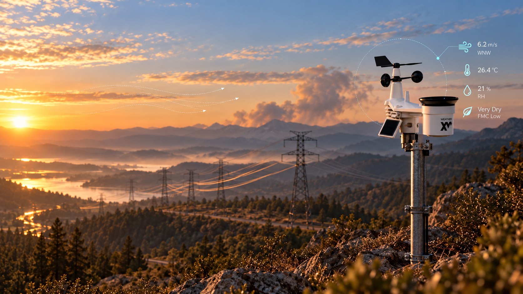
Local weather along a transmission corridor.
Wind and ambient temperature govern how fast an overhead conductor sheds heat and how much current it can safely carry. Those conditions vary span by span.
WeatherXM deployed stations along a transmission corridor in Portugal for Enline, providing local weather data used for Dynamic Line Rating (DLR) evaluation.
Observations placed next to the infrastructure being assessed demonstrate a practical path to local meteorological inputs for line-rating models.
Observations reaching energy traders.
An energy-trading customer obtains WeatherXM observations through Synoptic Data ↗. It demonstrates another route into energy applications: delivering the network's observations through infrastructure the buyer already uses without custom hardware deployment.
Wildfire & Resilience
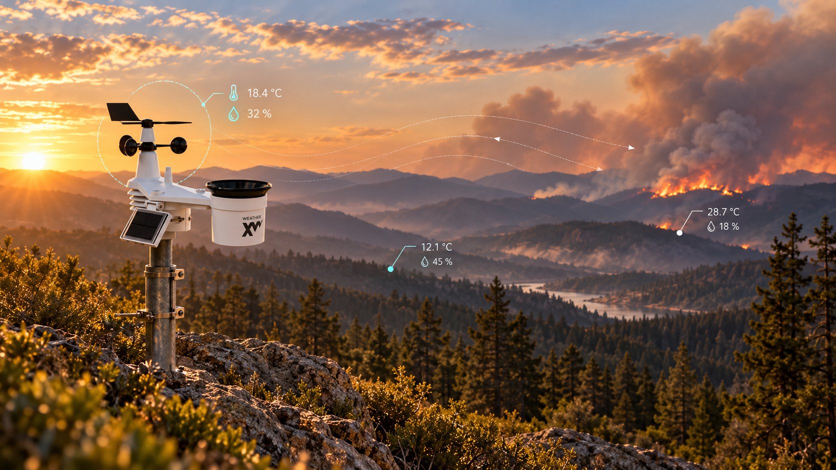
Microclimates dictate fire behavior.
Forest terrain, vegetation, ridgelines and limited site access create sharp microclimate divides. Regional models average conditions across 10–25 km cells, masking severe humidity drops and localized thermal funnels where ignitions spark.
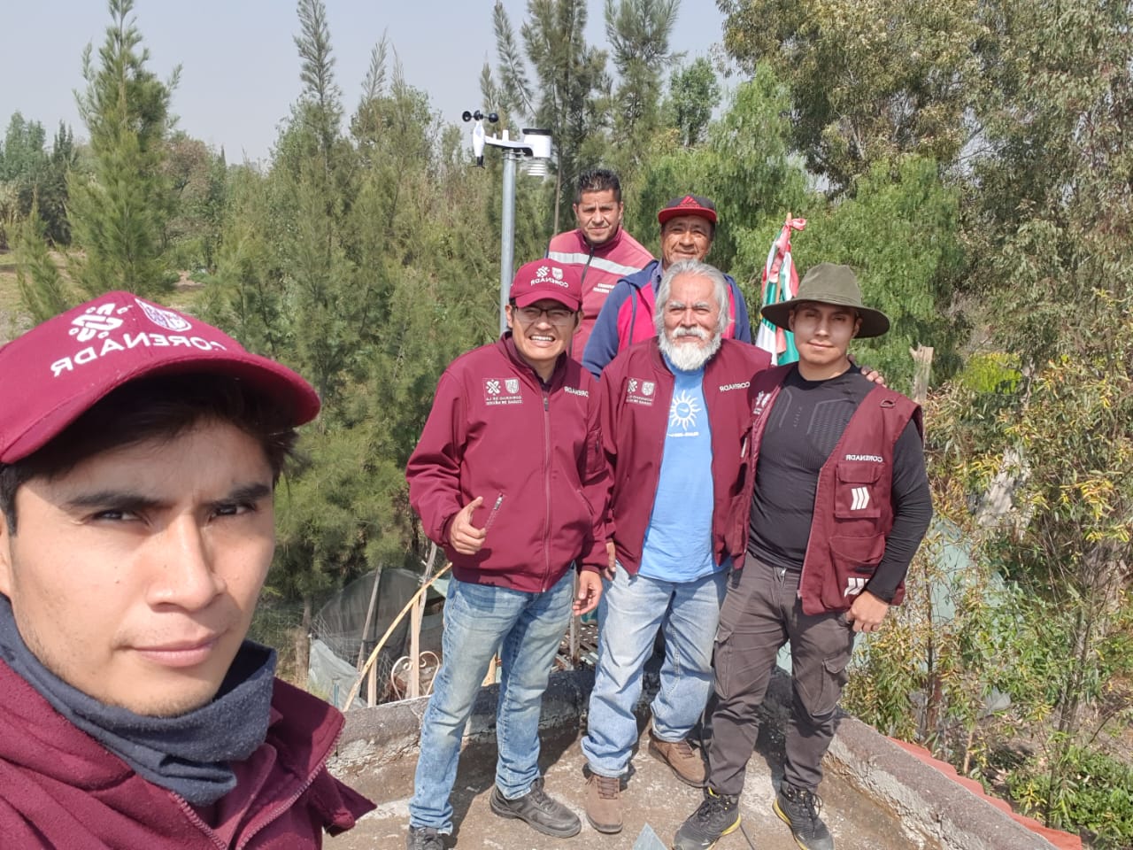
A weather installation is also a communications project.
Forest terrain, vegetation, and rugged canyons create total cellular blackouts where wildfire ignition risk is highest. Stations cannot rely on cellular backhaul in deep forest.
WeatherXM deployed autonomous H1 LoRaWAN stations for PG&E across California utility forest corridors to capture localized fire weather where cellular connectivity does not exist.
The work demonstrated that zero-cellular forest environments require non-cellular telemetry architectures, directly shaping our long-range radio and off-grid remote engineering.
Ports & Maritime Operations
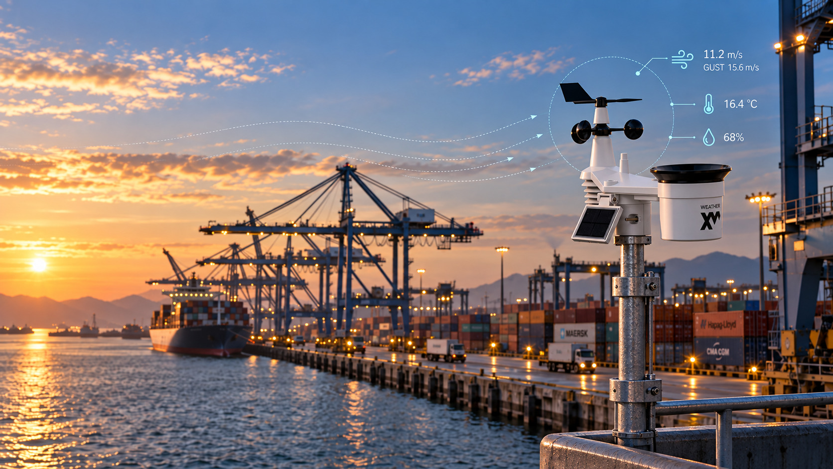
Observe the conditions where the work happens.
Wind and gusts at an exposed container terminal determine whether Ship-to-Shore (STS) cranes can operate safely. The nearest airport observation describes an inland location miles away.
WeatherXM deployed perimeter weather stations directly at exposed quays and container stacks at Piraeus Container Terminal (PCT), operated by COSCO Shipping Ports.
The installation brought measurement close to operational areas, giving terminal managers live quay-level gust and shear telemetry instead of a regional proxy.
Quay-level wind vs. regional airport forecasts.
Coastal microbursts and thermal land-sea breezes generate localized shear across container berths. Halting operations on distant airport warnings causes unnecessary vessel demurrage, while missing a localized gust hazard risks crane derailment.
Agriculture & Insurance
Measure the field, not the regional proxy.
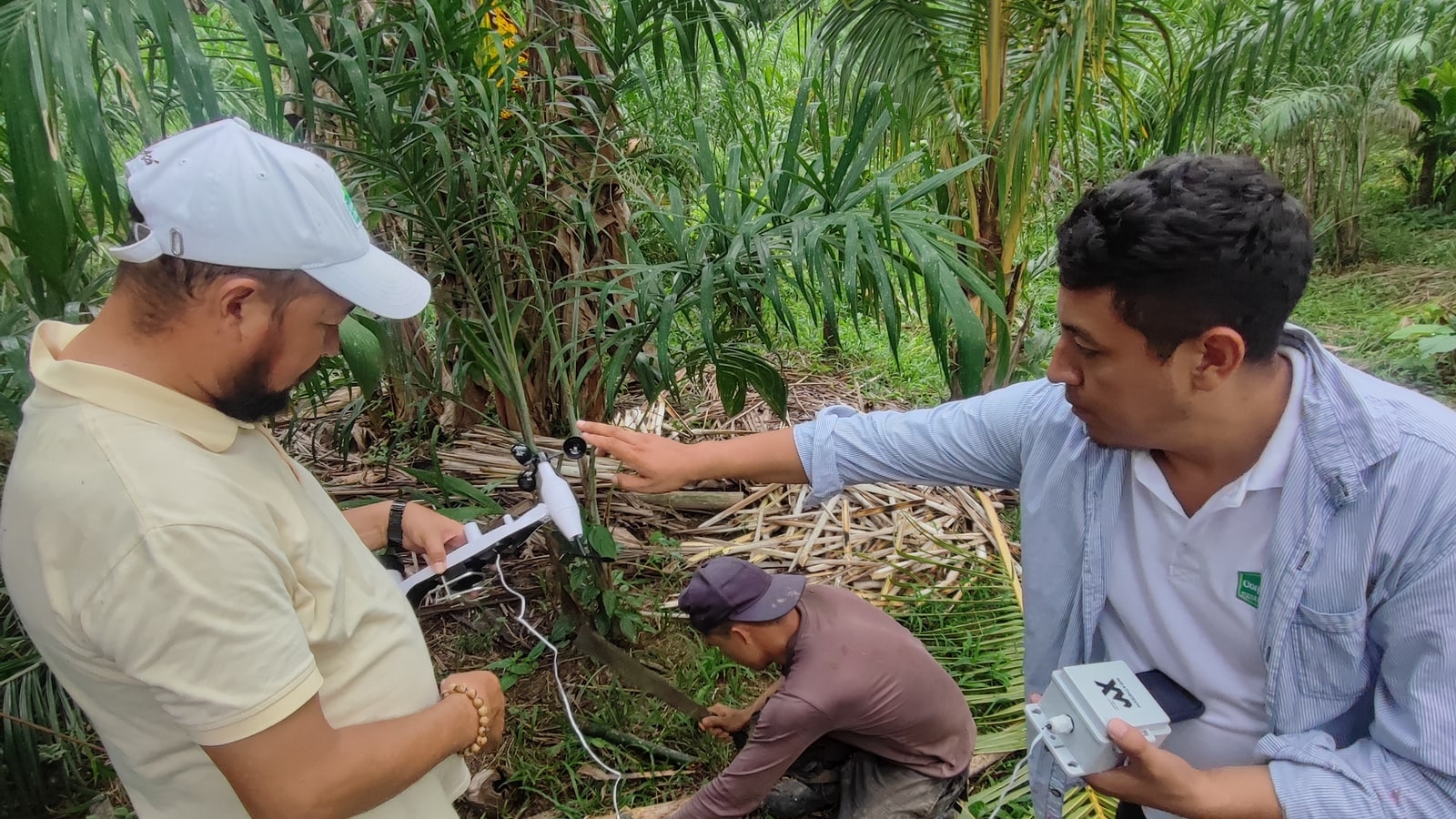
Across agricultural deployments in Latin America and Kenya, the recurring requirement is the same: weather can change materially over short distances, while the nearest regional station or model represents somewhere else.
WeatherXM puts temperature, humidity, rainfall and wind observations at the farm itself. The same local ground truth can support agronomy and irrigation decisions, frost and heat monitoring, agricultural research, and weather-risk products — including the work that led to specialist spin-out ParaHubXM ↗.
Distributed observation across farmland and groves where elevation, canopy and exposure create conditions regional weather cannot resolve.
A partner-led rollout showing the same pattern in East Africa: place observations close to growers and make local conditions usable in field workflows.
Research, AI & Environment
Ground observations for research and AI.
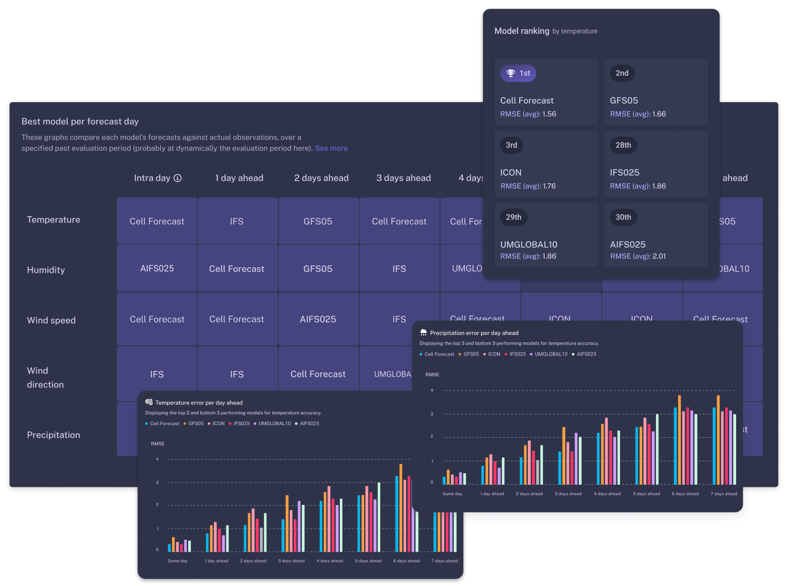
Google DeepMind is a WeatherXM data customer. Our observations are also used by research organizations and university teams studying weather and environmental conditions.
Measurements give researchers a record of the physical world to compare with model output and other datasets. Station context, history and quality assessment are part of choosing appropriate data for a study.
Environmental exposure in materials research.
Our materials R&D work connects local environmental conditions to questions about how materials and products perform over time. Observing exposure at the relevant location adds evidence a regional weather summary cannot.
Academic and non-commercial research access is arranged case by case according to the institution, study, locations and period required.
Remote is a site condition, not an industry.
A remote field, forest corridor and isolated research plot present the same engineering problem in different clothes. Start with site access, exposure, power and the route the data must take; then choose the connectivity and operating model that fits.
Where else local weather changes the answer.
These are applications the same observations and field hardware can support. Where we do not have a named project, we describe the application rather than imply customer proof.
Aviation & Vertiports
Micro-weather for approach corridors, low-altitude routing and vertiport planning.
Transportation & Highways
Bridge wind alerts, fog corridors and freezing-surface monitoring.
Construction & Infrastructure
Wind thresholds for crane operations, concrete cure-temperature logs and site safety records.
Smart Cities & Public Health
Urban heat island mapping, hyper-local thermal comfort indices and air-quality microclimate correlation.
Retail & Demand Planning
Weather-driven demand forecasting correlated with local ground conditions rather than regional models.
Have a weather-sensitive problem?
Tell us what decision depends on weather, where the measurement needs to happen and how the data must reach your system. We can start from data, deployment or an Open Edition integration.